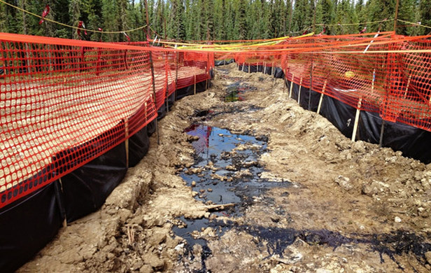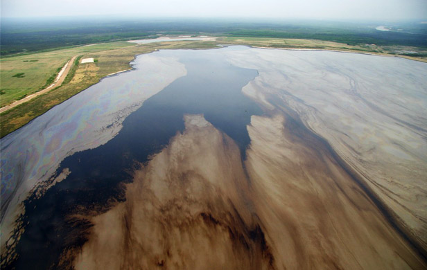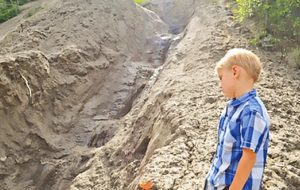
A series of landslides above the northeast BC community of Hudson’s Hope has been dumping contaminated soils into several local creeks, extending now to the Peace River. Local landowners whose water supply has been affected are demanding answers.
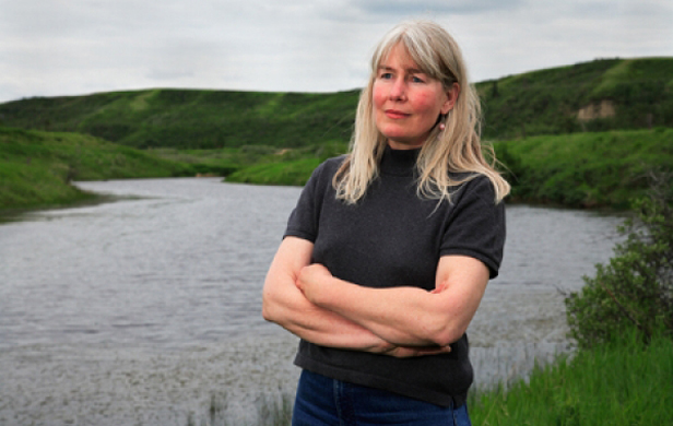
But Mayor Gwen Johansson, who has been monitoring the situation since trouble first appeared last summer, says all she really has is a lot of questions.
The three biggest ones are:
1. Did nearby fracking operations – or related wastewater disposal – cause the landslides?
2. Is fracking wastewater the source of the contamination unleashed into a series of interconnected creeks?
3. If not, and the the contamination is naturally-occurring in local soils, as the Oil and Gas Commission contends, then what are the implications for the proposed Site C Dam, which could further erode and carry contaminated soils downstream for decades to come?
What we do know
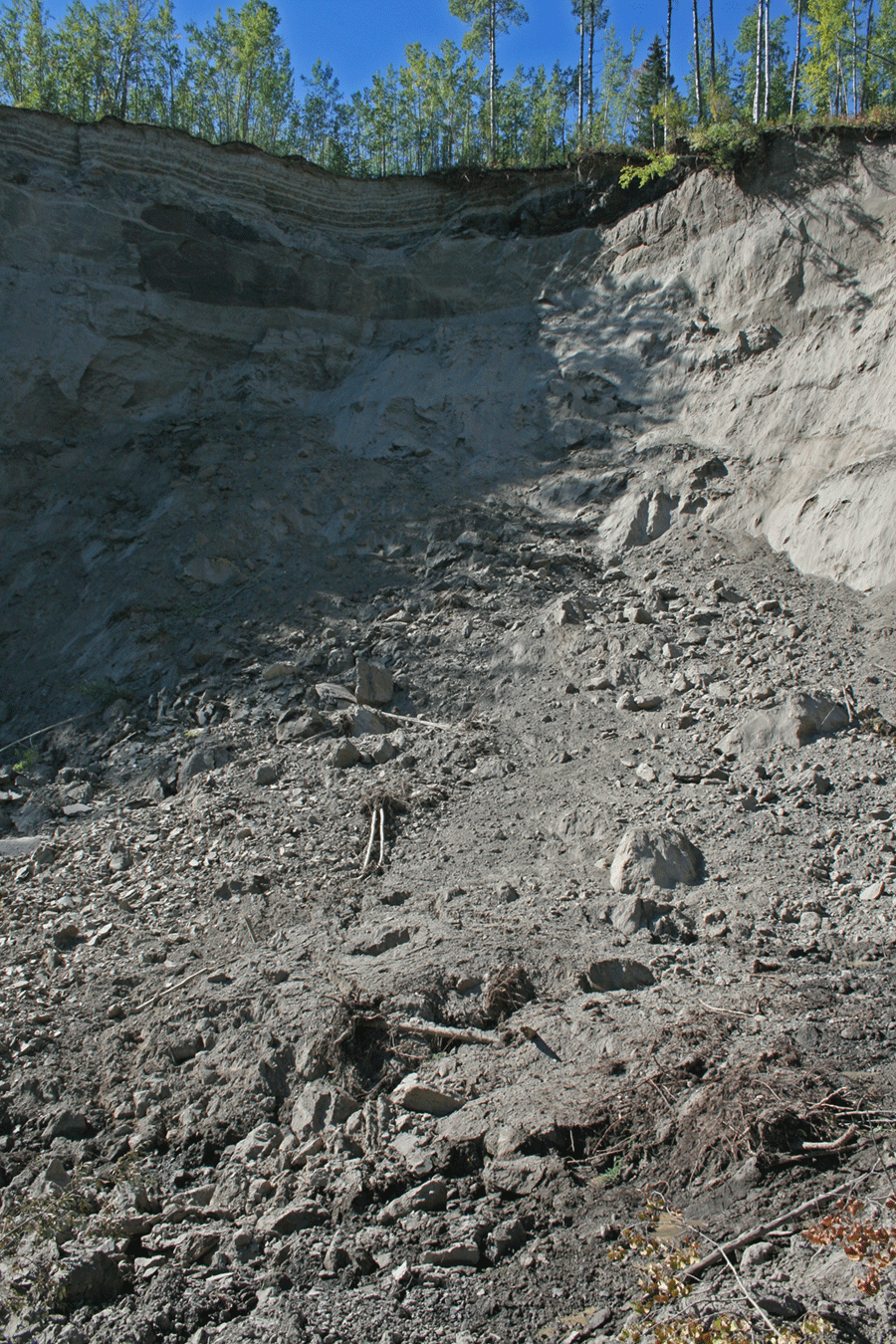
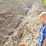
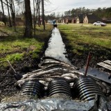
Since the summer of 2014, the ongoing slides have spewed sediment laced with toxic heavy metals – including lead, arsenic, barium, cadmium and lithium – into Brenot Creek, which flows into Lynx Creek, which in turn feeds into the Peace River. Large bars of sediment have formed in Brenot and Lynx Creeks and contaminated water has now nearly reached another major river in the area, the Halfway – according to local landowner, Ross Peck.
Farmer Leigh Summer, whose property lies below the slide area, has watched with horror as Brenot Creek has become packed with toxic silt. “Now it’s so muddy that when you put your hand in it, if you have an inch of water over top of your hand, you can’t see your hand,” Summer told the Alaska Highway News. “There used to be fish in the creek, but it’s basically dead today.”
His neighbour, Rhee Simpson, has seen the well she depends on run dry, likely filled in with sediment. “I have no water,” Simpson, a resident and farmer near the creek for 62 years, told the CBC earlier this week. “You can’t play in it. You can’t fish in it. You can’t drink it. Your stock can’t drink it. Someone has to do something to get our water back.”
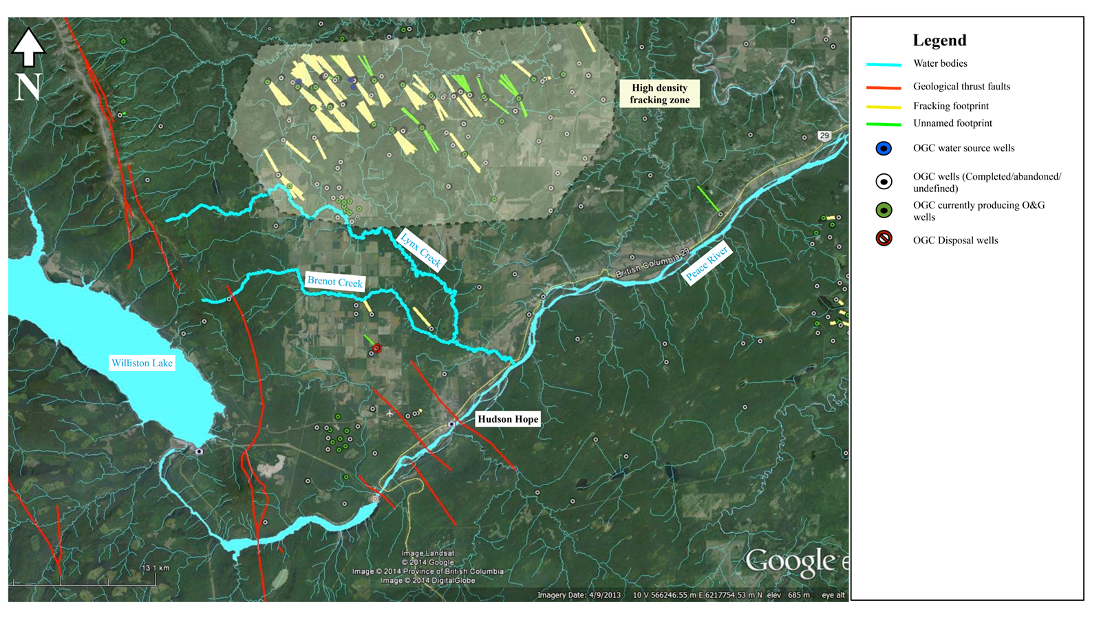
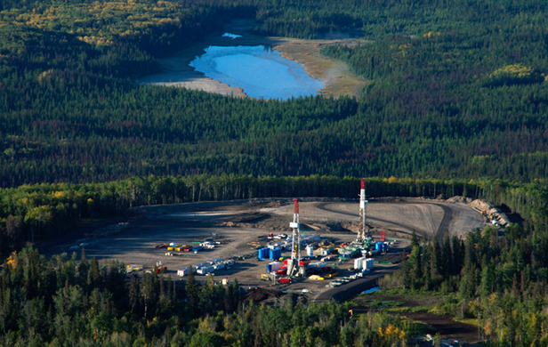
We also know that there were fracking operations in close proximity to the slide approximately 3 years ago, with more in the surrounding areas of Talisman (now Progress Energy/Petronas’) Farrell Creek play – but likely not close enough to be related. See the map below – provided by the District of Hudson’s Hope (click to expand).
We know that the shale gas extraction process is associated with increased seismic activity – as we were reminded by the recent 4.6 magnitude quake in Wonowon, some 70 km away, as the crow flies. This is most frequently associated with the injection of “produced water” (used fracking fluids) into waste wells to dispose of it underground after a well has been fracked – though in some cases the fracking process itself can trigger seismic activity.
We also know that the terrain in this region is no stranger to landslides, as it’s composed of loose materials like shale, sand and clay. That’s always been a strong argument against Site C Dam by local landowners who know this. The Williston Reservoir, West of the planned Site C reservoir has seen massive expansion since its flooding in 1968, gobbling up the banks of the water body far beyond original predictions, due to the instability of the soils. The terrain East of there, where Site C is proposed, is even less stable. More on that in a moment.
See no evil
The testing of the Brenot creek slide and contamination been pretty pitiful thus far, given what’s at stake. The OGC has declared the toxins “naturally occurring”, maintaining, “there’s no evidence” that fracking operations are the source of the contamination – which has the ring of the sort of technicality-based, legalistic denials we heard for years from the tobacco industry. As Carl Sagan said, “The absence of evidence is not the evidence of absence.” Bear in mind, too, that the OGC is hardly known for its tough, independent monitoring and regulation of the oil and gas industry.
The municipality spent its own money to hire independent hydrologist and shale gas expert Dr. Gilles Wendling to conduct some preliminary tests beginning last summer, but it lacks the resources to carry the load with the kind of in-depth, ongoing testing required here. According to the mayor in a letter to the community published in January, 2015 (see page 22), “Dr. Wendling’s readings were consistently above guidelines for the heavy metals, and the origin was sand in the water coming out of the bank at a slide on Brenot Creek.”
Those findings prompted the District to install a water advisory in September, 2014, which the Ministry of Environment supported, formally warning people to avoid the water for personal use, animals and irrigation.
In January, Johansson wrote, “The MoE representative said they have no plans to do anything further, other than file a report. He said he expected that eventually the creek would cleanse itself.”
Well, a year later, the creek has not cleansed itself. According to Johansson, The Ministry Forests, Lands and Natural Resource Operations (FLNRO) has a landslide specialist who has been monitoring expansion of slide. He has explained that because the slide is so vertical, we can expect that it will continue moving for some time to come.
Mayor Johansson notes that in the old days, this is the kind of work MoE could have been counted on to carry out in a thorough manner but they haven’t been back to investigate further to date. In the wake of recent media attention on the issue, though, officials have indicated they are coming up for a site visit by helicopter next week. If what they see from the air is enough cause for concern – as it well should be – then Johansson hopes they will return to take soil samples and conduct thorough testing.
Another possible culprit
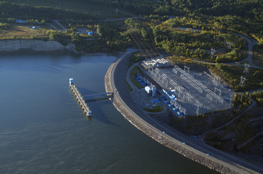
Landowner Leigh Summer isn’t convinced that shale gas activity is responsible – or at least the sole culprit – for the slides. “I was pretty convinced initially, but the flow seems to increase with the level of Williston (Reservoir) increasing, so I have a feeling it’s a conjunction of the two,” he told the Alaska Highway News.
“There’s something going on with the aquifers underneath…I suspect, in my mind, that there’s some connection between one or the other, or both.”
Pandora’s box
Regardless of the cause of the slides, if the OGC is correct and this erosion has simply unleashed naturally-occurring contaminants in the soil – a sort of opening up of Pandora’s Box – that’s a frightening prospect indeed.
Plainly put, if fracking operations are the source of the contamination, that’s bad news. But if they aren’t, that’s perhaps even worse news when you consider that the proposed Site C Dam would engulf much of the area below the slide, closer to the river, and potentially continue carrying contamination far downstream well into the distant future.
“If these contaminants are in the soil, how far along the Peace Valley do they extend?” asks Mayor Johansson. The fact is, given the dearth of studies, we don’t yet have a clue. And the implications could be massive for the region – and well beyond – as Summer notes:
“We are really subjecting ourselves to the risk of having a contaminated reservoir which, obviously, contaminates the river all the way to the Slave (River) and to the Mackenzie (River) and the Arctic Ocean, so it’s pretty significant.”
Either way, we need serious, credible testing now. The Clark government is already spending hundreds of millions of tax dollars, rushing ahead with early Site C construction 70 KM downstream, at the proposed dam site. This despite BC Hydro’s own acknowledgement that the power from the dam won’t be required until at least 2029! If this naturally-occurring contamination extends for a great distance along the banks of the Peace River, then building Site C and flooding this area is a nightmare scenario we would do well to avoid.
